Hard
2j
93,4km
+0m
0m
Embed this item to access it offline
90 km of hiking to discover while roaming in 11 steps
10 steps
16 points of interest
Stephane Ferrer 
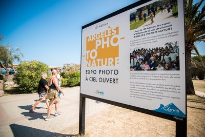
Argelès Photo Nature Exhibition
Created in 2009 by the town of Argelès-sur-Mer, Argelès Photo Nature – Enfants de la Mer offers over six months of outdoor exhibition featuring around a hundred giant photographs along the seafront promenade in Argelès-sur-Mer, which attracts over a million visitors each year.
In 2020, the exhibition focuses on bears, with photographic perspectives accompanied by watercolor paintings and monumental sculptures. Issues related to climate change are also explored through stunning exhibits on the Arctic and coral reefs.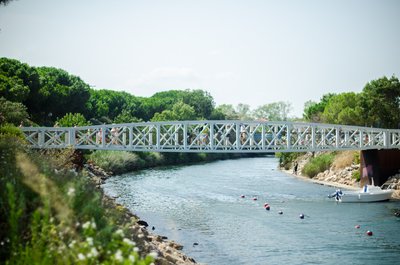
Stephane Ferrer 
Port Footbridge
A true link between the Port and the Beach, the Massane Footbridge is crossed by more than 200,000 visitors each summer.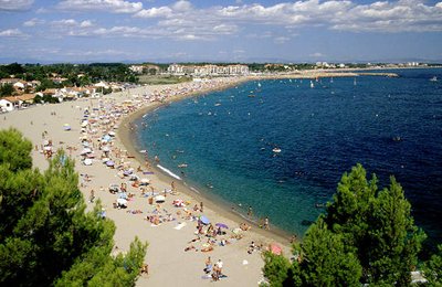
CCACVI  History
Un petit recoin catalan : « Le Racou »
The term "Racou" means "nook" in Catalan. Located between rocky coast and sandy beach, it is one of the typical places of the Argelesian coastline. The first installations of "demountable" wooden cabins go back to the 1920s but will be destroyed during the German occupation. In the 1960s, the Racou already has three lines of houses. This place is almost a village in its own right. Through its tiny alleyways floats a retro atmosphere where there is good walking.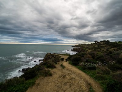
Aurélie Rubio  Panorama
Criques de Porteils
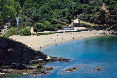
The largest cove in Argelès, stretching 180 meters, Porteils Cove isn't the easiest to find. Many smaller coves are scattered throughout the area, with access varying depending on the season. Generally, you’ll find peace there, lulled by the waves of turquoise waters.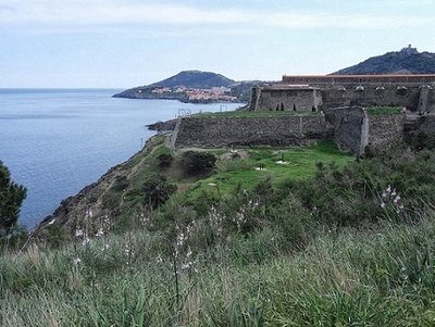
Fort Miradoux - admin66pm  Cultural heritage
Fort Miradoux
In 1669, Vauban who wanted to make Collioure a garrison town, decided to shave the old town and create Fort Miradoux on the site of the old Fort Sainte-Thérèse built around 1540 by Charles V. This fort because of its location was of paramount importance in the defense of the castle. Today, Fort Miradoux, owned by the Army has become the National Commando Training Center (CNEC).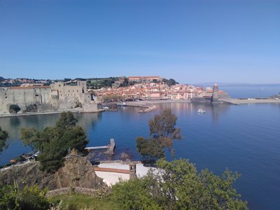
Baie de Collioure - CCACVI  Panorama
View of Collioure Bay
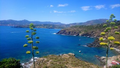
Collioure, with its rich history, offers various tourist sites, each with a unique but equally extraordinary perspective. The bay of Collioure is one of those stunning spots where the sea meets the mountains, providing a perfect place to relax for a moment. Whether you're down in the Catalan town or at a higher viewpoint, make the most of this one-of-a-kind location.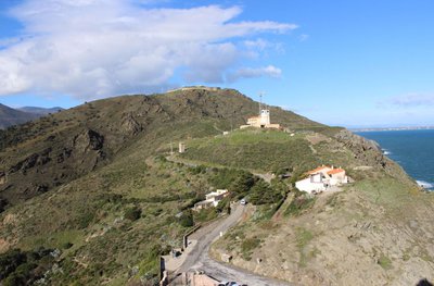
Le Sémaphore sur fond de Fort Béar - CCACVI  Cultural heritage
Fort Béar
Built between 1877 and 1880, Fort Béar was built in order to lock the borders and replace the fortifications of Vauban with buried polygonal forts. This fort was used until the middle of the 20th century, when a radio station was installed after the German occupation (1949). He is now owned by the Army.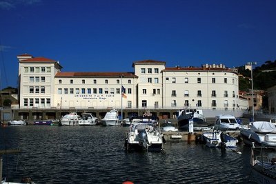
CCACVI  History
Arago Laboratory
In the early 1880s, the zoologist Henri De Lacaze Duthiers prospected the Mediterranean Coast to establish a marine station. In 1882, the Arago Laboratory opened its doors at its current location, and the public aquarium was inaugurated in 1884. The laboratory welcomed scientists who wanted to advance marine science. The research structures were regularly expanded to welcome new researchers who contributed to the renown of the laboratory.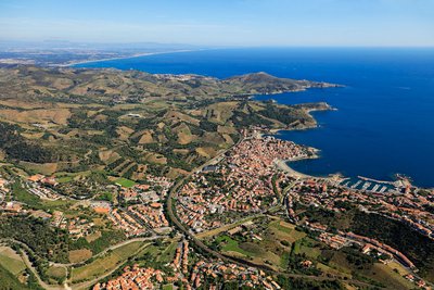
vue aerienne de Banyuls-sur-mer - Frédéric Hédelin  Geology
Le Dôme
Located on the north face of the Cape of Abeille, the "Dome" owes its name to its configuration. This site has a large rocky outcrop approximately 70 meters long and 15 meters wide and has some major faults. The depth varies between 10 meters to the south and 19 meters to the north. The interest of the site is around and on the Dome (between 12 meters and 5 meters).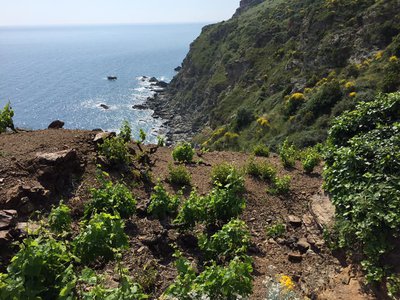
François-Xavier Hallé 
Vines
Vineyards located along the coastline, where the land meets the sea. These vineyards often benefit from the unique climatic conditions, with the influence of the sea moderating temperatures and providing a distinct environment for grape growing. Coastal vineyards can be found in regions like Banyuls-sur-Mer, where the steep slopes near the Mediterranean help produce some of the finest wines. The view of the sea combined with the rows of grapevines offers a picturesque and often dramatic landscape, creating a perfect synergy between nature and viticulture.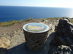
www.tables-orientation-pyrenees.fr  compass
Viewpoint orientator of Cap Rederis
Enjoy this panoramic point of view to observe the landscape.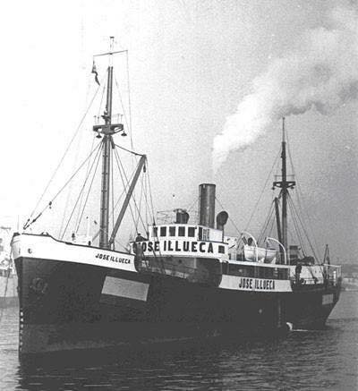
CAP Port-Vendres  shipwreck
The José Illueca
Cargo of 1922 built in Gdansk, it is bought in 1942 by José Illueca armament of Las Palmas. Sunk in 1944 in front of Port-Vendres by British fighters, it now lies 79 meters deep between Caps Peyrefitte and Canadell. Because of its depth, this wreck is only accessible to Trimix Hypoxic divers (diving beyond 70 meters).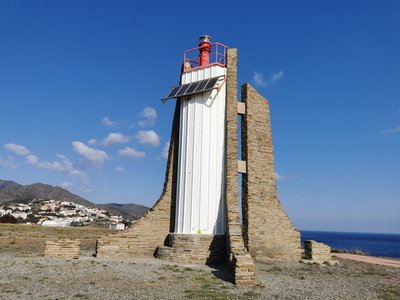
Elisabeth Coste  Small patrimony
Solar Lighthouse of Cap Cerbère
The last lighthouse before the French-Spanish border, this structure, built in 1982, replaced the old Cerbère lighthouse, which was decommissioned in 1980. Also known as the “Solar Lighthouse” due to its power source—photovoltaic cells—it has a range of 15 nautical miles. To preserve the landscape, all external electrical wiring was excluded from the site. Don’t miss this lighthouse, recognizable by its grey stones and tall red top.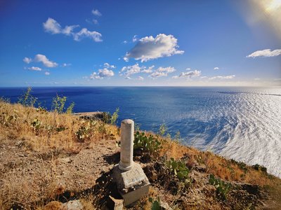
Camille Reynaud  Small patrimony
boundary stone n°601
The boundary markers 601 and 601bis are part of the 602 boundary stones and crosses that delineate the Franco-Spanish border. These markers represent the last accessible land-based boundary points before the border reaches the Mediterranean Sea. The marker 602 is located in the Foradada Cave in the sea, between Cerbère and Port-Bou.
These boundary stones were established following the Treaty of the Pyrenees in 1659 and the Treaty of Bayonne in 1856, which set the current course of the border.
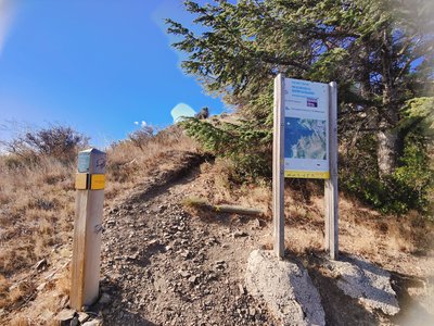
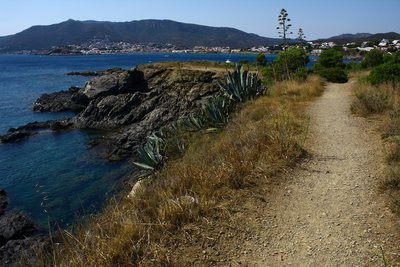
To reach boundary stone 601, one should follow the customs path (sentier douanier). Upon reaching the sign marking the end of the path section, continue straight ahead (following the yellow cross) rather than turning right onto the dirt track. This will bring you to the boundary stone, allowing you to experience this historical marker along the French-Spanish border.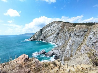
Elisabeth Coste  Geology
The cliffs of Cerbère
The Cliffs of Cerbère are among the highest in Europe and are part of the Banyuls to Cerbère Ecological and Faunistical/Floral Natural Area (Zone Naturelle d'Intérêt Ecologique Faunistique et Floristique des Falaises de Banyuls à Cerbère). Located in the southern part of the Côte Vermeille, this protected area stretches across 7 kilometers of coastline between Banyuls-sur-Mer and Cerbère, covering 140 hectares.
This rugged coastline is oriented from north-northwest to south-southeast and is predominantly made up of schist. The cliffs are sharply cut and are followed by numerous reefs and underwater islets. Several prominent capes punctuate the coastline, including the Cap de l'Abeille, Cap Redéris, Cap de Peyrefite, and Cap Canadell, which demarcate several sandy coves. The most significant of these is Peyrefite Beach.
The summit plateaus are covered with Mediterranean vegetation, including grasslands and maquis scrubland, which are often intersected by temporary streams. This diverse and ecologically significant landscape is a haven for a wide range of plant and animal species, making it an area of great natural interest.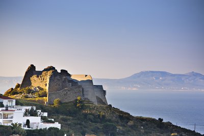
OT Llança  Cultural heritage
Château de la Trinité
Military construction located at the end of the Poncella, dating from 1544. It was built during the reign of Emperor Charles I, in addition to the citadel. In the shape of a 5-pointed star. At the time, it had three terraces for batteries of cannons, howitzers or mortars at different heights to defend the port and the coast, with a garrison of two hundred men. Today, this extraordinary example of an artillery fortress can be visited and constitutes a spectacular watchtower of the Bay of Roses.
Discover the guided tours and the offers for families.
Description
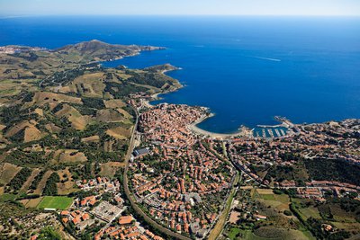
Etape 1: Argelès-sur-Mer: Sandy coast, rocky coast, rugged reliefs, parks, forests, Argelès-sur-Mer is situated at the foot of the Albères massif. The city has many cataloged heritage monuments and stretches for almost 10 kilometers along the Mediterranean Sea
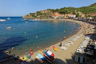
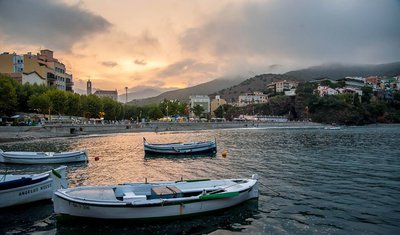
Etape 2: Collioure: Collioure is a small harbour nestling in a creek where the waters of the Mediterranean Sea ans the rocks of the Pyrennes mountain range merge. Jewel of the Côte Vermeille, Collioure has always been a land of inspiration for artists.
Etape 3: Port-Vendres: Natural harbour in deep water, since antiquity, everything is an excuse to go through the history of Vauban to Louis XVI. Under the terraced vineyard, the site of Paulilles, nestled between two capes, is much more than an exceptional bay but also a place of memory
Etape 4: Banyuls-sur-Mer: At the heart of the vermeille coast, at the foot of the terraced vineyard, home of the sculptor Aristide Maillol, Banyuls-sur-Mer seduces with its preserved architecture, its seafront promenade, its pebble beach and marina.
Etape 5: Cerbère:At the gateway to spain, in the marine nature reserve, Cerbere is a village that flourished with the development of the railway. its heritage of the nineteenth century makes it an exceptional catalan village
Etape 6: Portbou: Next to the border with france, PortBou offers an urban heritage course with international character and beaches of high quality. It combines memory and exile, art and landscape, and is a symbol of culture and peace.
Etape 7: Colera: In the north of the Alt Emporda region, Colera combines natural landscapes of Cap de Creus with a clam and little congested urban nucleus, endowed with a great amount of services for visitors. The coastline is formed by rocks and virgin beaches; inland the landscape is characterized by lands full of olive trees and vineyards, wich are delimited with natural stone.
Etape 8: Llançà: A small Mediterranean village located in the middle of a unique landscape and surrounded by both land and sea, by two protected natural areas-the Natural Park of Cap de Creus and l'Albera- and significant elements of cultural heritage. It houses and important watercolor museum: The MArtinez Lozano Foundation.
Etape 9: El Port de la Selva: The Port de la Selva is located within the Natural Park of Cap de Creus. It has a great landscape richness, where the blue of the Mediterranean sea, the green of vineyards and some steep coasts are beautifully combined. The imposong monastery of San Pere de Rodes crowns its mountains.
Etape 10: Cadaquès: A small town in the north of the Costa Brava, where the Pyrenees plunge into the sea. It is a pole of attraction for many artists, like Salvador Dali, who settled in Portlligat. The municipality encompasses the most eastern point of the Iberian Peninsula, Cap de Creus.
Etape 11: Roses: Gateway to the Natural parks of Cap de Creus ans the "Aiguamolls de l'Emporda", and origin of one of the most beautiful mediterranean bay, Roses is synonymous with history, culture, gastronomy, leisure and nature
- Towns crossed : ARGELES SUR MER, BANYULS SUR MER, CERBERE, COLLIOURE, and PORT-VENDRES
Recommandations
Is in the midst of the park
The national park is an unrestricted natural area but subjected to regulations which must be known by all visitors.
