Filters
114 results

114 results practice: Hiking

Hiking
COLLIOURE
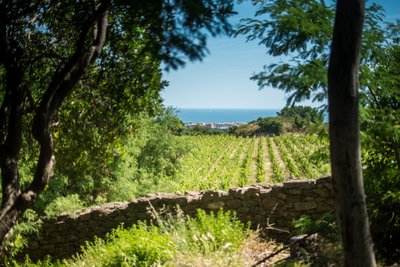
From Collioure to Port-Vendres through Fort Saint-Elme
Flora
- Easy
- 1h30
- 4,1km
- +193m


Hiking
PORT-VENDRES
From Port-Vendres to Collioure passing through Fort Saint-Elme.
Flora
- Medium
- 2h54
- 7,7km
- +361m

Hiking
ARGELES SUR MER
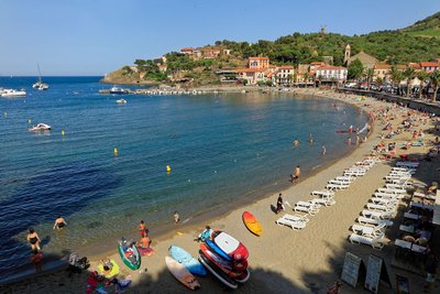
From the Château de Valmy to Collioure via the coastal path.
Fauna
Flora
- Medium
- 4h
- 15,6km
- +319m
Loading