"Sentier Walter Benjamin"

BANYULS SUR MER
4. "Sentier Walter Benjamin"
Hard
6h
15,3km
+810m
-809m
Embed this item to access it offline
A quite sporty hike in the footsteps of Walter Benjamin and Lisza Fittko as they fled the Nazis. Stunning views.
3 points of interest

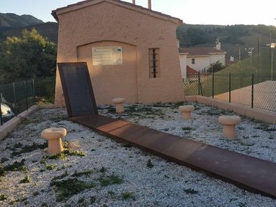
Mémorial Lisa et Hans Fittko - Elisabeth Coste  History
Lisa and Hans Fittko Memorial
Lisa Fittko, born Elizabeth Eckstein, was a resistance fighter, writer, and socialist activist, born on August 23, 1909, in Austria-Hungary, and passed away on March 12, 2005, in Chicago. She authored two memoirs about the war in Europe.
An anti-fascist activist, she sought to escape to Spain and made her way to Banyuls-sur-Mer, where she helped establish the "F" network (for Fittko), a passage route to Spain that operated until the spring of 1941. This network saved several hundred people, including the philosopher Walter Benjamin, who reached Port Bou. Unfortunately, Benjamin took his own life there. A beautiful memorial dedicated to him is located next to the Port-Bou cemetery.
Wikipedia 
Musée Maillol
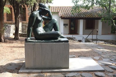
Aristide Maillol did his first work at Banyuls-sur-Mer. The sculptures of female bodies with generous curves, which have been a great success, have been imagined and created here, in his house "La Métairie". Died in 1944, it is in the garden of his house that he rests today, it’s a museum open to the public. We can see his tomb (free access) adorned with the statue of the artist "The Mediterranean".!
Puig del Torn - CCACVI  Peak
PeakTorn's Peak
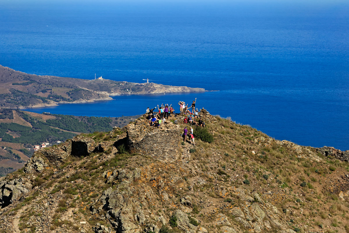
Peak located at 664 meters altitude.
Description
- From the Banyuls-sur-Mer Tourist Office, pass by the town hall then turn left onto General de Gaulle Avenue. Pass under the railway bridge and immediately turn left to reach Puig del Mas via Pierre de Marca Avenue until you reach Place Abel Pages on the left. (Note at the starting point, the monument dedicated to Walter Benjamin and Lisza Fittko).
- From the parking lot, continue towards the dirt track that leads to a path through the vineyards near Mas Guillaume. Continue on a paved road and turn left towards Col del Bast.
- At the pass, take the path that rises to the right and follow the route for 500 meters. The trail follows the ridges of the massif. Pass by the base of an electric pylon and take the rocky path that crosses several scree slopes towards Col de Rumpissar at 538 meters above sea level. (The circuit continues to Port-Bou on the GR92, it takes an additional 1 to 1.5 hours, with the possibility of returning by train from Port-Bou).
- By turning left, it is possible to follow the hiking trail to "Saute Montagne" which leads to the Tower of Querroig at 672 meters above sea level and offers an exceptional 360° panorama.
- To descend, retrace your steps from Col de Rumpissar.
- Once you reach the "La Colline des Oliviers" housing estate, take Pierre de Marca Avenue back to the Tourist Office.
- Departure : Tourist Office of Banyuls-sur-Mer
- Arrival : Tourist Office of Banyuls-sur-Mer
- Towns crossed : BANYULS SUR MER
Altimetric profile
Recommandations
Prepare water, a hat or cap, hiking shoes, a windbreaker, and waterproof clothing outside of summer months. Respect nature, carry out trash, and stay on marked trails. Check the weather forecast before departure.
Transport
Access and parking
D914
Parking :
Free market car park (except on Thursdays and Sundays, market days) and Baillaury car park"
