(E 12 - Coastal Path) From Banyuls to Port-Vendres
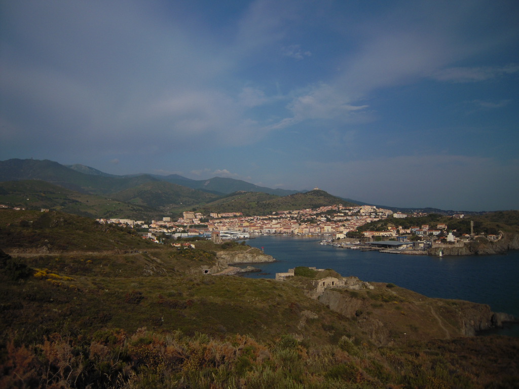
BANYULS SUR MER
(E 12 - Coastal Path) From Banyuls to Port-Vendres
Hard
5h
11,1km
+377m
-370m
Embed this item to access it offline
Between capes, beaches and bays, everything is there to enjoy the land and the sea in a single ride
6 steps
4 points of interest
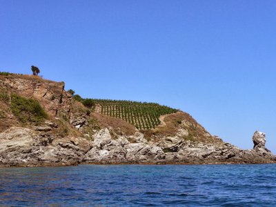
Le Sphinx - CCACVI  Geology
Sphinx
When Egypt invites itself on the Côte Vermeille. Observe the coastline and you will discover an authentic sphinx ... with a little imagination. This cape located near the Plage des Elmes is a beautiful place. You have to take the Chemin des Douaniers, by the Plage des Elmes to get there.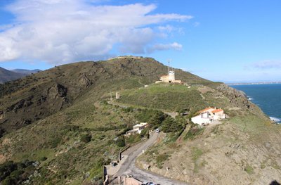
Le Sémaphore sur fond de Fort Béar - CCACVI  Cultural heritage
Fort Béar
Built between 1877 and 1880, Fort Béar was built in order to lock the borders and replace the fortifications of Vauban with buried polygonal forts. This fort was used until the middle of the 20th century, when a radio station was installed after the German occupation (1949). He is now owned by the Army.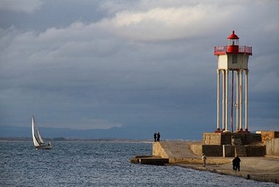
Phare de la Jetée de Port-Vendres - CCACVI  Cultural heritage
The jetty's lighthouse
Having weathered the weather so far, the metal lighthouse at the pier of Port-Vendres has run bravely 110 years. However the last storms have a little damaged, including its spiral staircase, since removed because of the automation of the lantern. Listed in historical monuments since 2011, go see it before the sea prevails!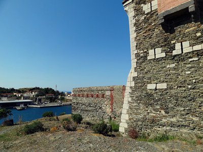
Redoute Béar - CCACVI  History
Redoute Béar
Due to its strategic maritime position and its proximity to historical boundaries, Port-Vendres has received a great deal of attention from military builders. The historic turning point of the city is around 1659, when after the Treaty of the Pyrenees, King Louis XIV charged Vauban to make "Port-Vendres" a port of war. Go up to the Redoubt Béar built in the 18th century according to the plans of Vauban and immerse yourself in history.
Description
- Continue on the Anse de Fontaulé promenade, then climb the road on the sidewalks along the D 914. Continue to Elmes beach.
- Turn right and take the path that winds along the coast through ancient vineyards.
- Take the path on the left along the cliff towards Cape Ullastrell.
- Continue on the right. The path leads to the cliff. Turn left until the barrier in the bend and continue on the track which leads to the houses at Fourat.
- Join the second beach by an opening in the wall. Cross it and return to the coastal path. At the end of the beach turn left and pass under the iron bridge. Take immediately the path that goes up and continue the path inside the fences to go down towards Bernadi beach.
- Cross the stream bed. Cross the beach and walk along the wall to take the path on your right.
- Continue on the very steep path and cross several coves to arrive at the foot of Cap Béar.
- Take the asphalt road for a hundred meters to take the path on the right. It goes up towards the semaphore. At the top, cross the paved road and take the path opposite in the direction of Fort Béar. It will continue towards the lighthouse at the pier.
- At the bottom of the path, turn left and continue a few meters on the tarmac road. Turn right and take the path that goes around La Redoute de Mailly. Go back down and join the track on the right which arrives at rue de la Jetée.
- Continue on this street via the zebra crossing, turn right and continue on the tarmac track. Then take opposite and continue to the right on the sidewalks towards the city center.
- Bypass the ferry terminal on your left, continue on the Quai de la République then on the right the Quai François Joli until the tourist office.
- Departure : Tourist Office of Banyuls-sur-Mer
- Arrival : Tourist Office of Port-Vendres
- Towns crossed : BANYULS SUR MER and PORT-VENDRES
Altimetric profile
Recommandations
You enjoy nature, you love it, take care of it ... You take a hiking trail on which there are bins (glass, paper, leftover food, etc.). Use them out of respect for this exceptional space used every month by tens of thousands of hikers and walkers.

