Mountain-Hopping
BANYULS SUR MER
Mountain-Hopping
Hard
6h30
13,3km
+817m
-816m
Embed this item to access it offline
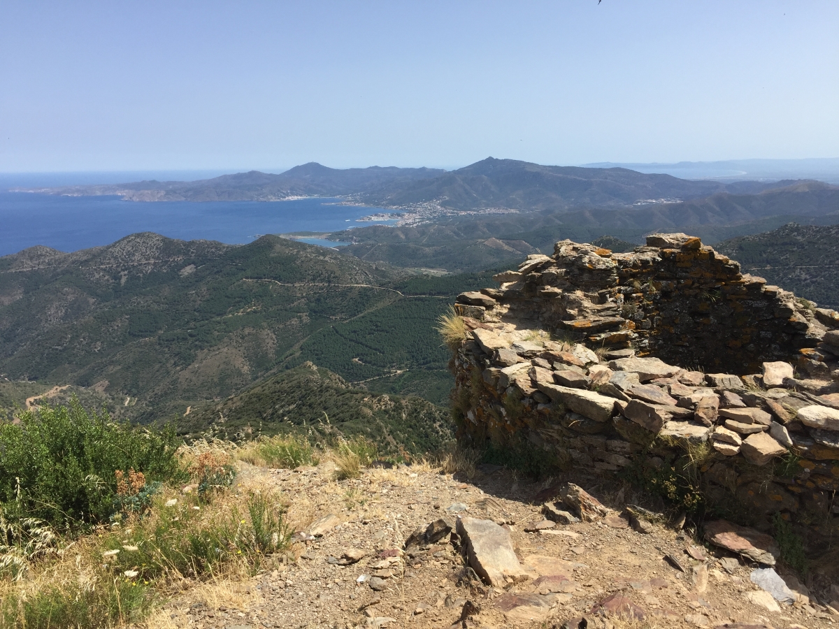
This loop begins first on the heights of Banyuls then above Cerbère. This is where the ruins of the tower and castle of Querroig appear. The view is magnificent. On the return, the passes follow one after the other, the panorama remains exceptional.
4 points of interest
Mémorial Lisa et Hans Fittko - Elisabeth Coste  History
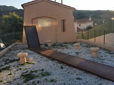
Lisa and Hans Fittko Memorial
Lisa Fittko, born Elizabeth Eckstein, was a resistance fighter, writer, and socialist activist, born on August 23, 1909, in Austria-Hungary, and passed away on March 12, 2005, in Chicago. She authored two memoirs about the war in Europe.
An anti-fascist activist, she sought to escape to Spain and made her way to Banyuls-sur-Mer, where she helped establish the "F" network (for Fittko), a passage route to Spain that operated until the spring of 1941. This network saved several hundred people, including the philosopher Walter Benjamin, who reached Port Bou. Unfortunately, Benjamin took his own life there. A beautiful memorial dedicated to him is located next to the Port-Bou cemetery.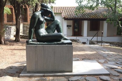
Wikipedia 
Musée Maillol
Aristide Maillol did his first work at Banyuls-sur-Mer. The sculptures of female bodies with generous curves, which have been a great success, have been imagined and created here, in his house "La Métairie". Died in 1944, it is in the garden of his house that he rests today, it’s a museum open to the public. We can see his tomb (free access) adorned with the statue of the artist "The Mediterranean".!
Puig del Torn - CCACVI  Peak
PeakTorn's Peak
Peak located at 664 meters altitude.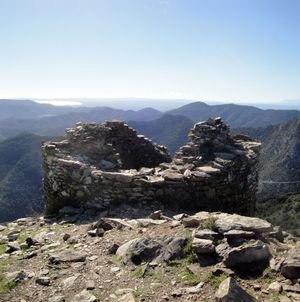
Tour de Querroig - François-Xavier Hallé  History
Tour de Querroig
The ruins of the fortress of Querroig are located at 670 meters altitude between the municipalities of Banyuls-sur-Mer, Cerbere and Portbou. The remains are those of a medieval castle built at the end of the 13th century by the Count of Ampurias and conceded in 1303 to the knight Bernat de Rabos Lord of Cerberus. Integrated into the network of signal towers of the kings of Mallorca, it was the link with southern Catalonia. This archaeological site is registered as a historical monument.
Description
Departure from the Banyuls-sur-Mer Tourist Office.
- Go up the Avenue of Général de Gaulle towards Puig del Mas, then cross the River "La Baillaury" by the bridge. Continue on the Avenue Pierre de Marca, until you reach the Abel Pages Square on your left.
- From the carpark, continue towards the dirt track that leads to a path through the vineyards on the outskirts of Mas Guillaume. Follow the road and turn left up to the Col del Bast.
- At the pass, take the trail that goes up to the right and follow the path for 500 meters. The trail follows the ridges of the massif. Walk past an electric pylon and take the stony path that crosses several scree towards the Col de Rumpissar at 538 metres above sea level.
- Turn left and take the trail that goes up to the tower of Querroig at 672 meters which offers an exceptional 360 ° panorama.
- Take the path that goes down to the right, that follows the ridge towards the Cerbere Pass (433 metres). Take the trail towards the fire watch tower. Leave it on your right to continue to the electric pylon. Follow the trail on the ridge until you get to the Col de la Creu. By turning to your left you will see that the trail leads to a tarmaced path.
- Continue the trail to the Tower of Pagès. go down the path for 500m, take the trail on your left which bypasses the Mas Ramonet.
- Once you get to the ‘La colline des Oliviers’ housing estate, take the avenue Pierre de Marca to the tourist Office.
- Departure : Puig del Mas carpark
- Arrival : Puig del Mas carpark
- Towns crossed : BANYULS SUR MER and CERBERE
Altimetric profile
Recommandations
Hydrate regularly, take walking shoes, cap and windbreaker.
Check the weather before departure.
Respect nature by bringing back your waste.
Itinerary included in the Departmental Plan of Walking and Hiking Routes of the Pyrénées-Orientales
The PDIPR is a tool for the legal protection of routes which lists the routes open to hiking, horseback riding and mountain biking. It aims to promote the discovery of natural sites and rural landscapes by developing the practice of hiking. To be included in this plan, a route must meet a set of quality criteria in terms of development and management.
Access and parking
At the Banyuls-sur-Mer Tourist Office of, take the direction of Puig del Mas.
Parking :
Puig del Mas car park
