The Massane tower
ARGELES SUR MER
The Massane tower
Hard
5h30
12,3km
+792m
-795m
Embed this item to access it offline
Discovery hiking. The Tower is located within the Massana Nature Reserve. To make the most of your hike, follow the rules and protect the environment
4 points of interest
Vue du Parc Municipal de Valmy - ot Argelès  Flora
FloraValmy Municipal Park
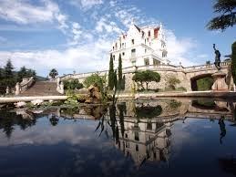
This park offers the most beautiful view of the commune and the landscapes of the Pyrénées-Orientales, bordered by the Mediterranean Sea. In this romantic, green 5-hectare setting, you can relax and picnic in the shade of the forest (there’s a playground for children). Discover a walking trail dotted with unique signs that blend natural heritage with the history of the people of this land.
2025 Opening Dates:
• February 8 to April 30: daily from 10 am to 6 pm
• May 1 to September 30: daily from 10 am to 7 pm
• October 1 to November 2: daily from 10 am to 6 pm
More informations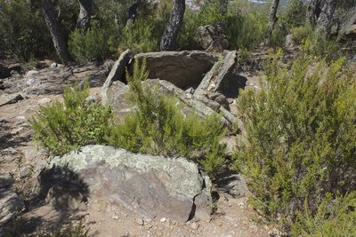
CCACVI  Dolmen
Dolmen dels Collets de Cotlliure
Find this dolmen on the path that connects the Château de Valmy to the Tour de la Massane. The path will lead you first to the Dolmen de la Cova de l'Alarb, then you will arrive directly at the Dolmen del Collets area. Open your eyes and look around. The dolmen is there but in poor condition.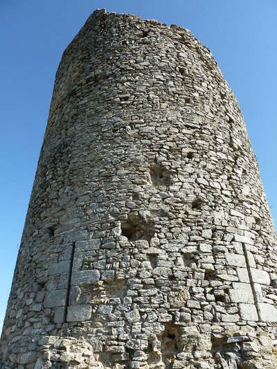
CCACVI  Cultural heritage
Tour de la Massane
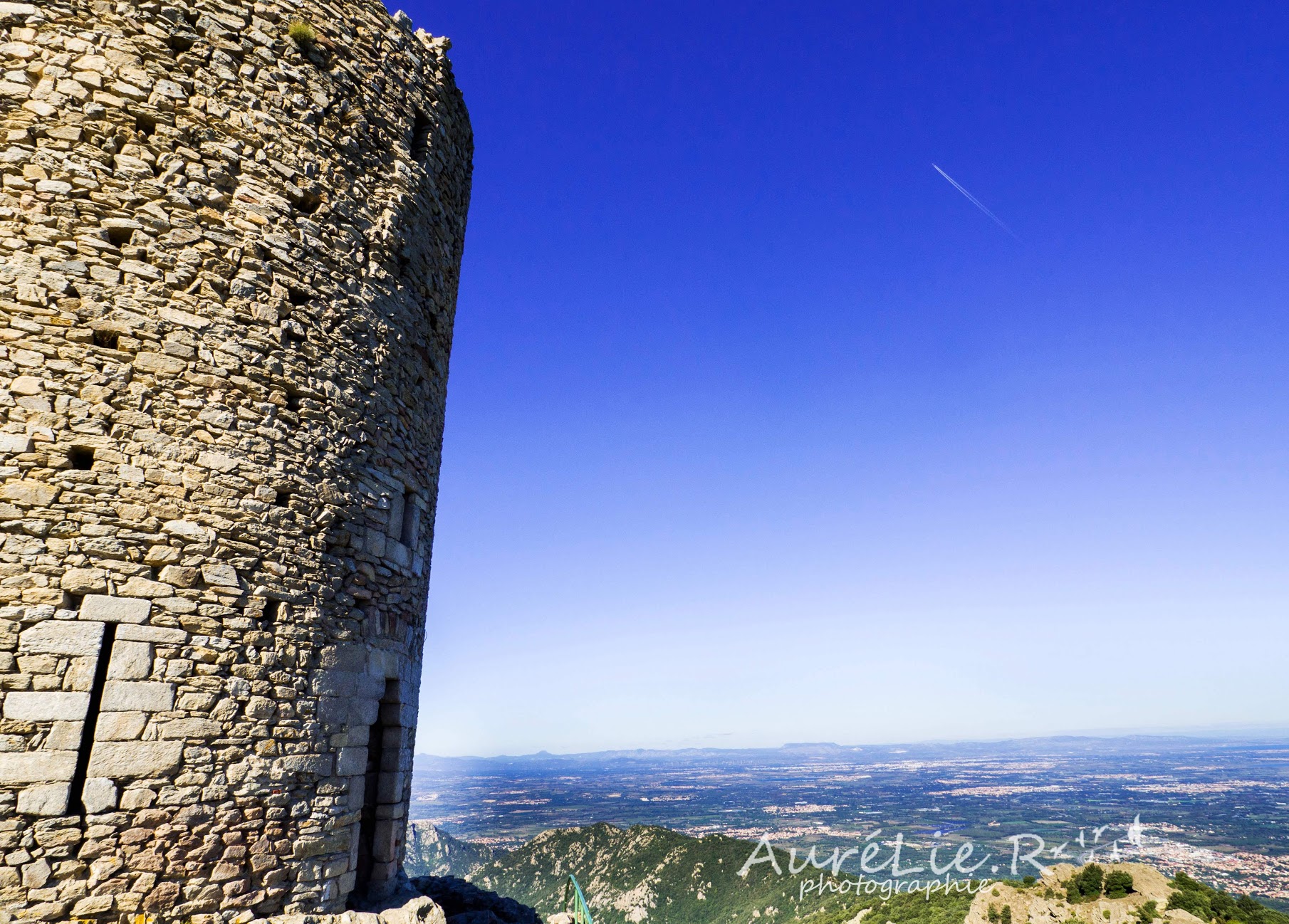
This watchtower, built by the Kings of Majorca, offers an exceptional point of view on the Plaine du Roussillon. At 793 meters altitude, the tower is a landmark for hikers of the massif. The famous Cassini cartographer even used it as a geodesic landmark in 1701 for his meridian work. He manages to find a difference of 397 toises between the foot of the Tower and Collioure (an altitude of 780 meters). Rather precise for the time, no?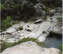
Gneiss leucocrates dans le lit de la Massane - Guide ADT  Geology
Le champ filonien du val de la Massane
The wild gorges of the Massane are dug through the most metamorphic rocks (transformation of minerals under the effect of pressure or temperature) of the Massif des Albères. The most remarkable geological character is the presence of numerous leucocratic magmatic injection veins (rock made up of clear minerals). These veins are of all sizes but one of the most remarkable, of kilometer size, outcrops at the foot of the Tower of Massane (BRGM).
Description
- From the car park follow the road for 150 meters, then turn left.
- Don’t cross the ford, take the path left along the high wall of Valmy Castle. At the Mas Peyrot, don’t take the DFCI but follow the path on the left . After the slope, cross the DFCI track, opposite floow the track that goes up into the oak forest and leads up to the Cova de l’Alarb Dolmen
- Carry on up until you get to a crossroads. Take the second path on the left, cross the track, then take a right and left. At the Dolmen dels Collets of Collioure, continue on the path that leads to the track. Take a left and carry on up to a pool, walk round the pool on the left hand side and follow the rocky path up to the massif.
- As the tracks join, take the path that goes under the electric wires and follow this track to the end. (Coll del Camp d'en Selva à 489 metres). There, take the path on the left that passes in front of the Font Sant Andreu.
- Turn right to the Massane Tower and follow the edge line path. Enjoy the beautiful view (793 metres) look out when it’s windy. Go back down towards the north to the Coll del Pomer (554 metres).
- Don’t take the path on the left, carry on to the crossing of the Roc del Grill(532 meters above the sea level).
- Take a right, until you come to a crossing, carry straight on towards the ruins of Mas d’en Pardès.
- Lower down, after the crossing, take a right down to the Mas de la Monja.
- Carry on down the track towards Mas Blanc, join up with the road that leads you to the Valmy car park.
- Departure : Valmy Castle car park
- Arrival : Valmy Castle car park
- Towns crossed : ARGELES SUR MER and SOREDE
Altimetric profile
Transport
Access and parking
From Argelès sur Mer, follow directions to Valmy Castle
Parking :
Château de Valmy car park
