The ice well and the "Casot del guarda"

LAROQUE DES ALBERES
The ice well and the "Casot del guarda"
Medium
4h
9,8km
+571m
-571m
Embed this item to access it offline
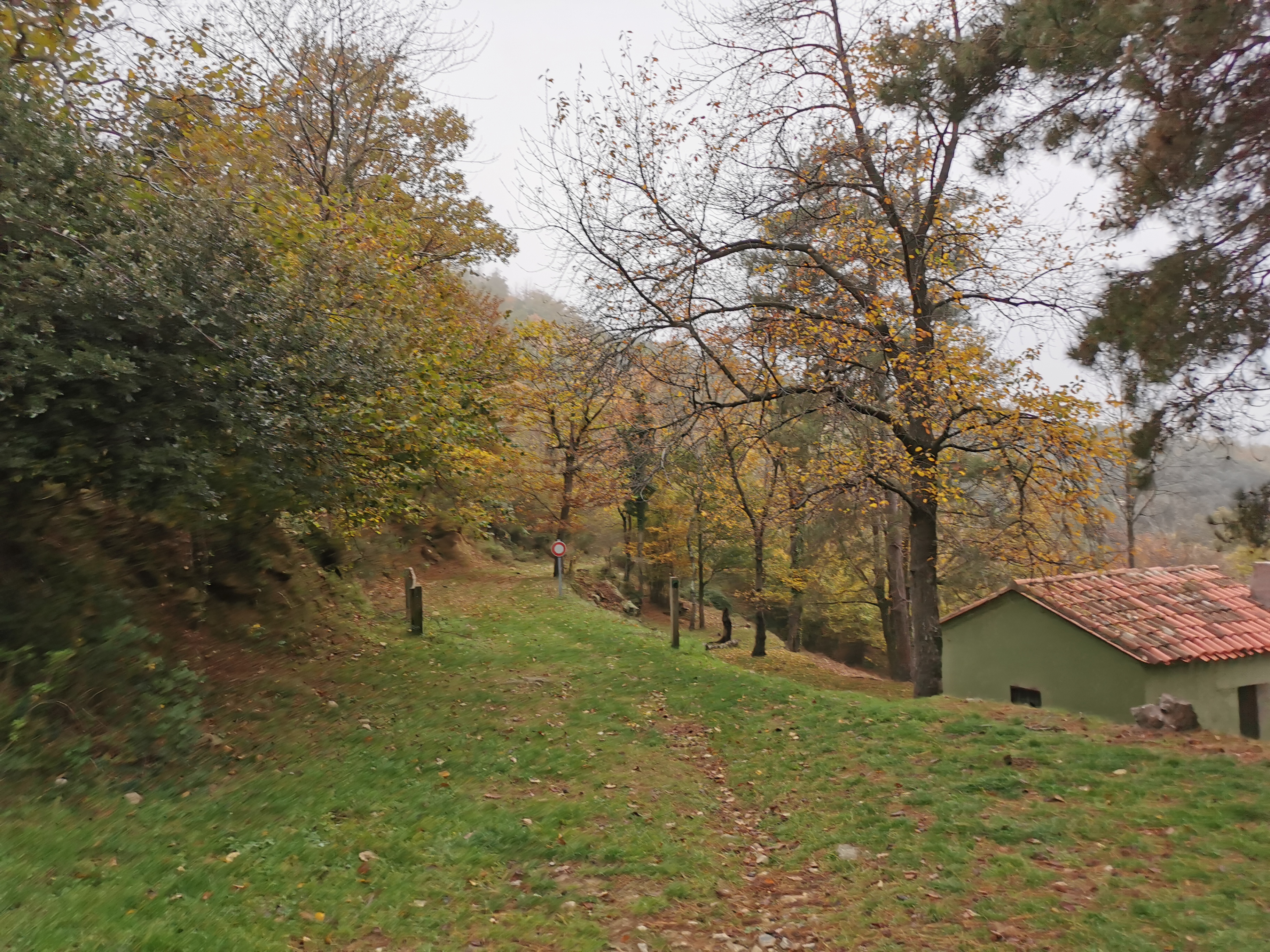
This semi-shaded hike allows you to discover the ice well of Laroque. It offers a beautiful panorama of the Roussillon plain. The passage between the well and the 'casot' is along a stream.
(Ice wells were common in the Albères massif. Their origin dates back to the late 16th century, early 17th century. Snow was piled up through filling holes located at the top. The wells were filled during the winter and provided ice during the warm period.)
(Ice wells were common in the Albères massif. Their origin dates back to the late 16th century, early 17th century. Snow was piled up through filling holes located at the top. The wells were filled during the winter and provided ice during the warm period.)
Description
- From the Tourist Office, head to the Church. Take the small street in front of the Church gate. Then follow the trail in the forest where you'll find the Moulin de la Pave and the 'Font dels Ocells' (Fountain of the Birds). The path follows a half-buried canal.
- At the intersection, turn right. Here, there's a small water reservoir, a crossroads of paths, and indicative signs. Take the direction Dolmen – Pic Neoulos – Col de l'Ullat. On the left side of the trail, follow the small irrigation canal to a strategic crossroads.
- Take the left trail. The path climbs through the vegetation.
- Intersection. Continue on the path that goes up to the right, always following the yellow markings.
- New intersection of trails. Take the path in front. Narrow passage between two rocks, formerly used by shepherds to count their livestock. The path continues south, slightly uphill. A ledge with beautiful panoramas of Laroque. The trail crosses a first ravine and then the river: Correc de les Teixoneres. It then climbs in switchbacks. A nice stone wall on the left precedes an intersection of paths marked by a sign "piste". Continue straight.
- A sign on the left indicates the ice well a few meters above. Turn back and continue left on the trail. Cross the stream, the "Correc de la Baillanouse," and follow the path that goes to the left.
- Intersection of trails. Turn left to go to the 'Casot del guarda.'
- Intersection of paths. After the concrete ford, take the path that descends towards Laroque. Initially heading north, the path turns east and changes valley. Cross the ford and continue to descend on the path (do not take the trail on the right, Roc Planer, Roc de Migdia). Intersection with the path that leads to "Les Parraguères". Continue descending on the left path.
- Abandon the path to take a trail on the left, the markings indicate Laroque, which descends into the cork oak forest. The trail (cork oak and holm oak forest) is very rutted and stony.
- Here, intersection (crossed on the way up). Continue descending to the right. New intersection. Continue the descent on the left trail. Crossroads of trails. Descend towards the village following the same route as on the way up to reach the Tourist Office."
- Departure : Laroque des Albères Tourist Office
- Arrival : Laroque des Albères Tourist Office
- Towns crossed : LAROQUE DES ALBERES
Altimetric profile
Recommandations
Bring water, snacks or a picnic, a hat, and sturdy shoes.
Check the weather before departure.
Dispose of your waste responsibly.
Check the weather before departure.
Dispose of your waste responsibly.
Transport
Access and parking
D 618, D 2
Parking :
Hikers' parking at the stadium
