[Stage] Pic Neoulous - Pic Sallfort

LAROQUE DES ALBERES
[Stage] Pic Neoulous - Pic Sallfort
Medium
2h30
10,5km
+348m
-620m
Embed this item to access it offline
This crossing of the Albèra unfolds along the GR10 trail, offering unforgettable views.
3 points of interest

Croix frontière 587 - jean-Philippe Lapeyre  Small patrimony
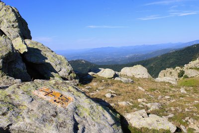
Border Cross 587
This cross is located at Coll de la Maçana. Since 1856, border markers and crosses have delineated the boundary between France and Spain (Treaty of Bayonne, or Treaty of Limits). Linked together, they stretch 623 km from the Atlantic to the Mediterranean, forming a rich vernacular heritage. For more information, you can consult Jean-Philippe Lapeyre’s books Randonnées Mégalithiques Volumes 1 and 2 (click here to view points of sale).
Croix frontière 587 - jean-Philippe Lapeyre  Small patrimony
Border Cross 587
This cross is located at Coll de la Maçana. Border markers and crosses have defined the boundary between France and Spain since 1856 (Treaty of Bayonne, or Treaty of Limits). Connected together, they span 623 km from the Atlantic to the Mediterranean, forming a rich vernacular heritage. For more information, you can consult Jean-Philippe Lapeyre’s books Randonnées Mégalithiques Volumes 1 and 2 (click here to view points of sale).
Croix frontière 588 - jean-Philippe Lapeyre  Small patrimony
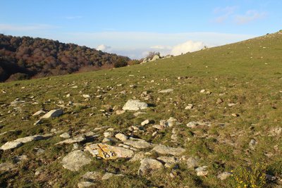
Border Cross 588
This cross is located at Coll de Terrers. Border markers and crosses have marked the boundary between France and Spain since 1856 (Treaty of Bayonne, or Treaty of Limits). Linked together, they span a length of 623 km from the Atlantic to the Mediterranean, forming a rich vernacular heritage. For more information, you can consult Jean-Philippe Lapeyre’s books Randonnées Mégalithiques Volumes 1 and 2 (click here to view points of sale).
Description
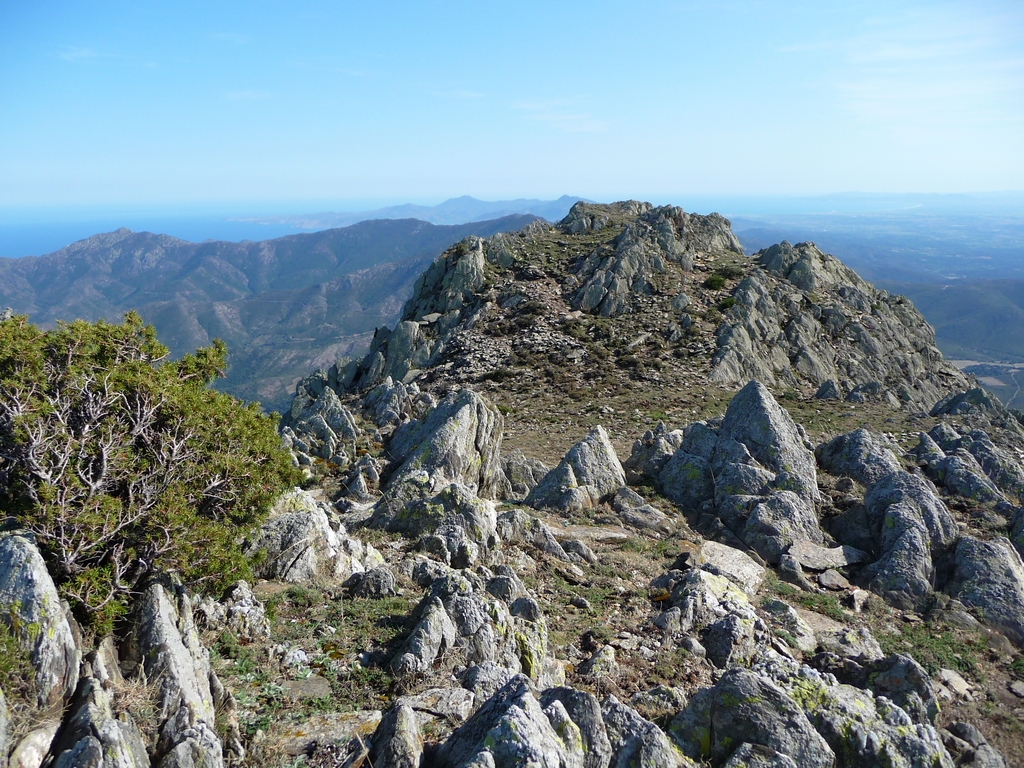
- Departure from Pic Neoulous towards the Tagnarède refuge. Beautiful view of the villages of Albères, the plain, and the entire coast up to Leucate.
- From the refuge, follow the border to the Col de Faig.
- From Col de Faig, pass through the meadows to Col de l'Orri.
- Circumvent Puig Padrets on the north side, through a beech forest. Head towards Pic des Quatre Termes.
- Enjoy a view of the Massane Tower and pass by the Massane Fountain, which is regularly flowing. Proceed towards the Carbassera Pass at the foot of Puig de les Guardes.
- At Col de la Carbassera, reach Coll dels Terrers.
- Pass close to the Fount de la Jalousette. Head towards Col del Pal to reach Pic Sailfort.
- Departure : Pic Neoulous
- Arrival : Pic de Sallfort
- Towns crossed : LAROQUE DES ALBERES, SOREDE, and ARGELES SUR MER
Altimetric profile
Recommandations
Let's respect forest ecosystems to preserve our biodiversity!
A portion of the route passes through the Massane Nature Reserve. The Massane forest is a scientific research laboratory where nearly 6500 species are inventoried on a surface of only 336 hectares. Overcrowding this space can have irreversible effects on the habitat. Therefore, this site is subject to obligations and prohibitions aimed at protecting the natural heritage. The introduction or destruction of plants, animals, and any work likely to harm the natural environment is prohibited.
The complete list of prohibitions in the Reserve can be accessed by clicking here.
Follow the red and white markings (GR10). Remember to bring water, a hat or cap, a windbreaker, snacks or a picnic, and good shoes. Respect the environment by carrying your waste back. Check the weather before setting out.
Transport
Access and parking
D900, D71a, Paved track from Col de L'Ouillat to Pic Néoulous
Parking :
Parking at Col de l'Ouillat.
