The balconies of Sorède from Lavail
SOREDE
The balconies of Sorède from Lavail
Very hard
7h12
22,3km
+1694m
-1700m
Embed this item to access it offline
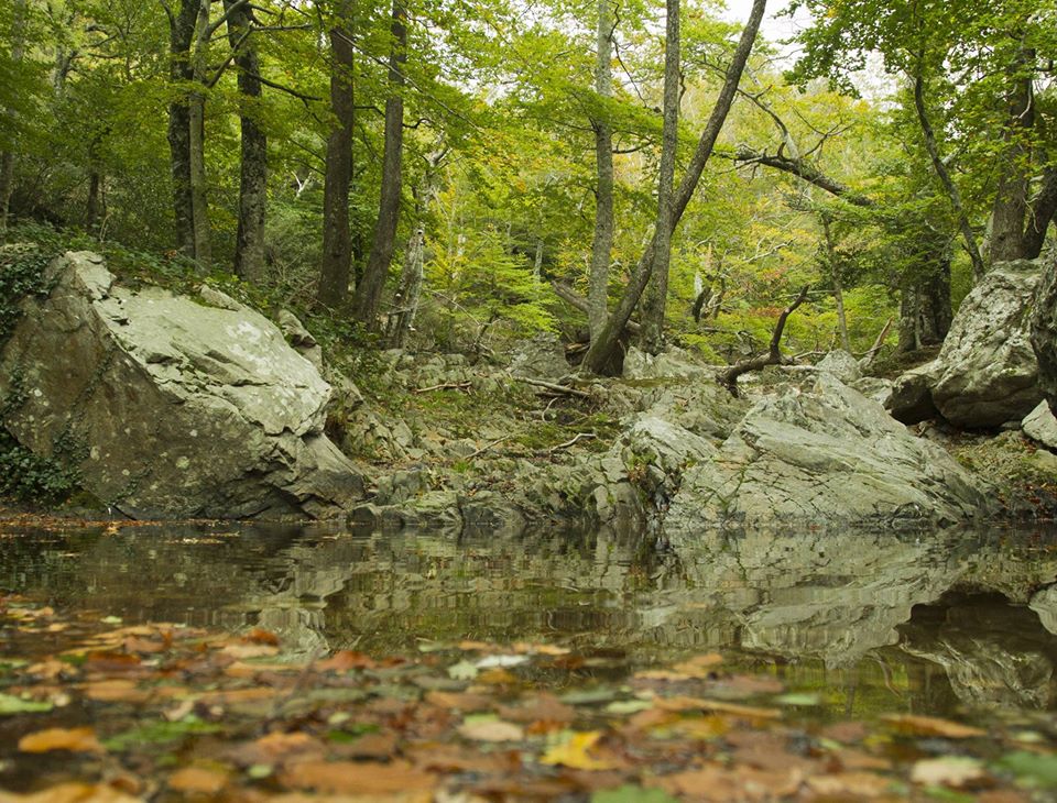
Immersion in the forest, especially the Massane nature reserve. Passage by the cols. The Tour de la Massane promises you fantastic views.
5 points of interest
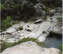
Gneiss leucocrates dans le lit de la Massane - Guide ADT  Geology
Le champ filonien du val de la Massane
The wild gorges of the Massane are dug through the most metamorphic rocks (transformation of minerals under the effect of pressure or temperature) of the Massif des Albères. The most remarkable geological character is the presence of numerous leucocratic magmatic injection veins (rock made up of clear minerals). These veins are of all sizes but one of the most remarkable, of kilometer size, outcrops at the foot of the Tower of Massane (BRGM).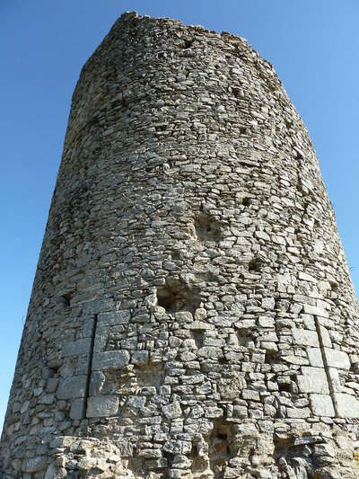
CCACVI  Cultural heritage
Tour de la Massane
This watchtower, built by the Kings of Majorca, offers an exceptional point of view on the Plaine du Roussillon. At 793 meters altitude, the tower is a landmark for hikers of the massif. The famous Cassini cartographer even used it as a geodesic landmark in 1701 for his meridian work. He manages to find a difference of 397 toises between the foot of the Tower and Collioure (an altitude of 780 meters). Rather precise for the time, no?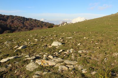
Croix frontière 588 - jean-Philippe Lapeyre  Small patrimony
Border Cross 588
This cross is located at Coll de Terrers. Border markers and crosses have marked the boundary between France and Spain since 1856 (Treaty of Bayonne, or Treaty of Limits). Linked together, they span a length of 623 km from the Atlantic to the Mediterranean, forming a rich vernacular heritage. For more information, you can consult Jean-Philippe Lapeyre’s books Randonnées Mégalithiques Volumes 1 and 2 (click here to view points of sale).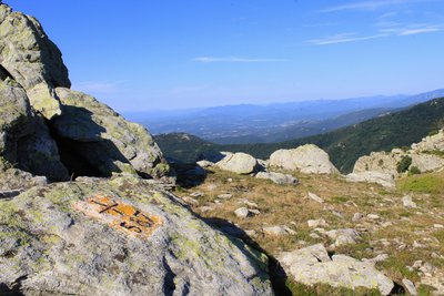
Croix frontière 587 - jean-Philippe Lapeyre  Small patrimony
Border Cross 587
This cross is located at Coll de la Maçana. Border markers and crosses have defined the boundary between France and Spain since 1856 (Treaty of Bayonne, or Treaty of Limits). Connected together, they span 623 km from the Atlantic to the Mediterranean, forming a rich vernacular heritage. For more information, you can consult Jean-Philippe Lapeyre’s books Randonnées Mégalithiques Volumes 1 and 2 (click here to view points of sale).
Croix frontière 587 - jean-Philippe Lapeyre  Small patrimony
Border Cross 587
This cross is located at Coll de la Maçana. Since 1856, border markers and crosses have delineated the boundary between France and Spain (Treaty of Bayonne, or Treaty of Limits). Linked together, they stretch 623 km from the Atlantic to the Mediterranean, forming a rich vernacular heritage. For more information, you can consult Jean-Philippe Lapeyre’s books Randonnées Mégalithiques Volumes 1 and 2 (click here to view points of sale).
Description
- Start from the Hameau de Lavail, chemin de Saint André (tarmac road then from the car park, dirt road) and follow the path along the river and the gorges of "La Massane".
- In front of a fenced field, turn left, directional sign indicating the Tour de la Massane. The path is steep to Roc del Grill.
- At this point, take a right. Continue to follow the markings to arrive at the tower. You will go up through the forest.
- Arrived at the tower, appreciate the grandiose panorama then go towards the Font Sant Andreu, do not go towards the Col de la Place d'armes.
- Go to the Col d'en Verderol
- You will pass through the Col d'en Verderol to join the GR10, turn left towards the Pic des Quatre Termes.
- Continue your route towards the Col de l'Aranyo.
- At the intersection, turn right and go down into the forest, you will walk along a stream then cross the river "La Massane". Arrival in Lavail, end of the route.
- Departure : Hamlet of Lavail
- Arrival : Hamlet of Lavail
- Towns crossed : SOREDE, ARGELES SUR MER, and BANYULS SUR MER
Altimetric profile
Recommandations
During this hike, you will cross the Forêt de la Massane nature reserve. Please strictly respect the regulations in force on the site to protect this environment. Information panels regularly present the measures in force.
Provide water, snacks, cap or hat, windbreaker, possibly waterproof clothing or sunscreen. Stay on the marked trails. Take back your waste. Watch the weather forecast before you go.
Provide water, snacks, cap or hat, windbreaker, possibly waterproof clothing or sunscreen. Stay on the marked trails. Take back your waste. Watch the weather forecast before you go.
Is in the midst of the park
The national park is an unrestricted natural area but subjected to regulations which must be known by all visitors.
Transport
Bus à 1€i
Access and parking
D2, D618
